
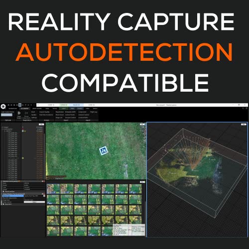
Sky High Bull's-Eye (24 inchx24 inch) AprilTags 16-bit (4x4 Array) UAV Drone Ground Control Points (GCPs) /Aerial Targets for Mapping & Surveying (10 Pack) | Center Eyelet | RealityCapture Compatible
Price may vary by location, shipping cost, and availability.
Price History Information
You can check the price history of Sky High Bull's-Eye (24 inchx24 inch) AprilTags 16-bit (4x4 Array) UAV Drone Ground Control Points (GCPs) /Aerial Targets for Mapping & Surveying (10 Pack) | Center Eyelet | RealityCapture Compatible here.
Product Information
Details
| Product Name | Sky High Bull's-Eye (24 inchx24 inch) AprilTags 16-bit (4x4 Array) UAV Drone Ground Control Points (GCPs) /Aerial Targets for Mapping & Surveying (10 Pack) | Center Eyelet | RealityCapture Compatible |
|---|---|
| Store Product Code | B0BLH53GKF |
| Store Name | amazon.com |
| Brand | Sky High Bull's-Eye |
| Rating | 10 / 10 |
| Category | Unmanned Aerial Vehicles (UAVs) |
| Product Manufacturer | Willis Worxs |
| Model Number | april_24_eye_0_9 |
| Model Number | april_24_eye_0_9 |
| Size | 24"x24" |
| Dimensions | 24 x 24 x 0.1 inches |
Features
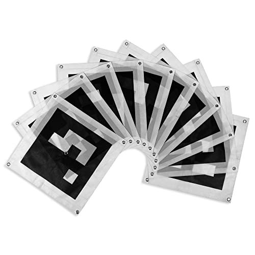
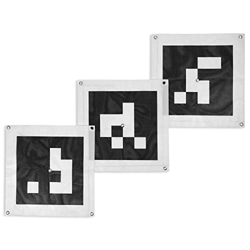
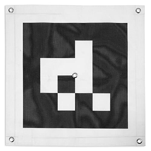
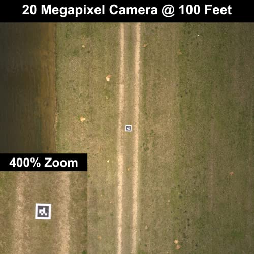
- APRIL TAG GCPs - These Ground Control Points (GCPs) feature a 16-bit, 4x4 AprilTag design, which can be auto-identified with compatible software to improve your mapping efficiency while in the field. AprilTags are commonly used across various software systems to identify object positioning and orientation.
- 24"x24" SIZE - Based on a variety of factors, including the aircraft altitude and camera sensor, 24x24 GCPs are the preferred size GCP for most drone mapping or photogrammetry operations up to 400 feet of altitude. This standard size is useful when scaling and verifying the map, providing a standard reference distance during post-processing.
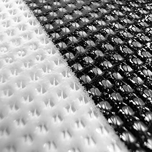
- DURABLE & LIGHTWEIGHT - Using a weatherproof mesh material, these GCPs were made to be highly visible yet lightweight, a big benefit when carrying the GCPs to control points in isolated areas in the field. The GCPs last for years without degrading, so you can reuse the targets on multiple mapping projects, saving on materials compared to single-use or permanent targets.
- CENTER EYELET - To assist with locating the center of the surveying target, these control points have a center eyelet for your survey rod to both help with locating the center of the target and to prevent unnecessary tears of the target when placing the stake in position. The center eyelet can also be used to place or locate a surveying nail or other marker when placing the control points.
- ANTI-REFLECTIVE COATING - By using a matte, anti-reflective coating, these ground control points are clearly visible even on bright, sunny days. As a result, the center of the control point is easier to identify during post-processing, making for a reliable and consistent mapping workflow.
Images
× ![]()
Rating and Reviews
10 Based on 3 reviews
Sky High Bulls-Eye 24 inchx24 inch AprilTags has 10 rating out of 10. This average rating is consist of 3 individual ratings. You can rate this product at product review page.
* Predictions is created on based of past prices and trends, it does not guarantee that it will happen. These are just prediction for theoretical information only.