
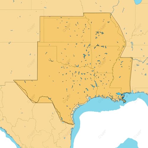
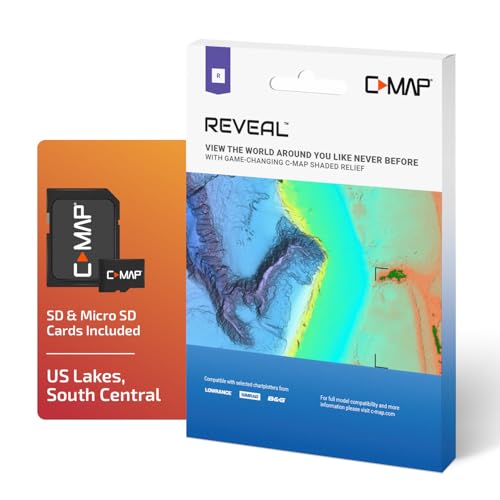
C-MAP Reveal Lakes - US Lakes South Central, Map Card for Marine GPS Navigation | Vector Charts with Shaded Relief and High-Res Bathymetry, 12 Months Updates
Price may vary by location, shipping cost, and availability.
Price History Information
You can check the price history of C-MAP Reveal Lakes - US Lakes South Central, Map Card for Marine GPS Navigation | Vector Charts with Shaded Relief and High-Res Bathymetry, 12 Months Updates here.
Product Information
Details
| Product Name | C-MAP Reveal Lakes - US Lakes South Central, Map Card for Marine GPS Navigation | Vector Charts with Shaded Relief and High-Res Bathymetry, 12 Months Updates |
|---|---|
| Store Product Code | B0GTRLL486 |
| Store Name | amazon.com |
| Brand | C-MAP |
| Rating | 8.8 / 10 |
| Category | Charts & Maps |
| Product Manufacturer | C-MAP |
| Model Number | M-NA-Y215-MS |
| Color | Black |
Features
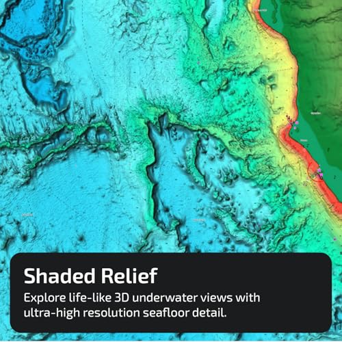
- SHADED RELIEF: Bring the world around you to life, with 3D rendered land and underwater elevation including areas of Ultra-High-Res Bathymetric imagery a game-changer for anglers and divers.
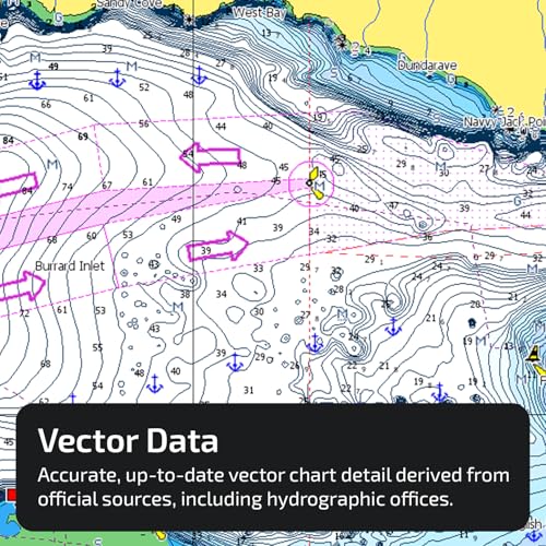
- FULL-FEATURED VECTOR CHARTS: Making navigation easy by giving you accurate, up-to-date vector chart detail derived from official Hydrographic Office information.
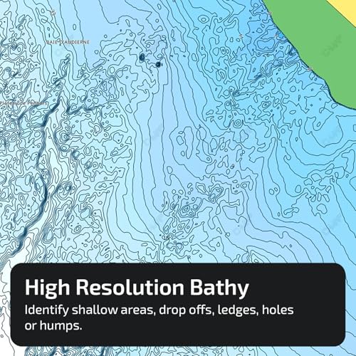
- HIGH-RES BATHY: Helps you identify shallow areas, drop-offs, ledges, holes or humps. Now includes compiled and quality-controlled Genesis detail as part of singular HRB layer.
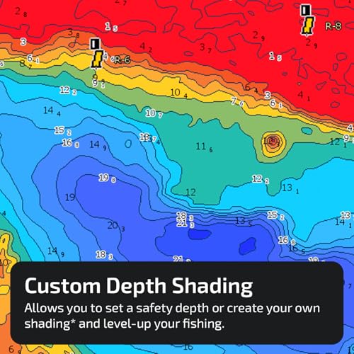
- CUSTOM DEPTH SHADING: Set a clear safety depth, maintain a paper-like view or create your own custom shading.
- EASY ROUTING: Helps you automatically plot the shortest, safest route based on detailed chart data and your personalized vessel information. No subscription required.
Images
× ![]()
Rating and Reviews
8.8 Based on 323 reviews
C-MAP Reveal Lakes - US Lakes South has 8.8 rating out of 10. This average rating is consist of 323 individual ratings. You can rate this product at product review page.
* Predictions is created on based of past prices and trends, it does not guarantee that it will happen. These are just prediction for theoretical information only.